News
Shawn Young
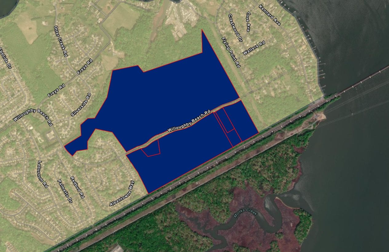
Tool for conservation planning updated with latest data
December 23, 2025Harford Land Trust (HLT) has stepped up its ability to map the most critical conservation priorities throughout Harford County.
Recently, HLT partnered with Chesapeake Conservancy’s Conservation Innovation Center (CIC) to add the latest data to our Land Conservation Prioritization Tool, a map that uses a variety of criteria to rank the conservation value of different land parcels. The color-coded map is powered by ArcGIS and draws its criteria from over 20 datasets, allowing HLT to easily identify high-impact conservation opportunities.
“This tool allows us to quickly assess, visualize, and communicate our conservation priorities in a way that wasn’t possible before.”
HLT Land Programs Manager, Jackie Koehn
The Land Conservation Priority Tool serves several different functions that helps HLT focus its efforts on the most critical and vulnerable resources in the county, which helps us create the greatest positive impact. Mainly, the map ranks land priority based on four overarching criteria, including wildlife and biodiversity, productive farmland, forested lands, and benefits to water quality.
The addition of updated data will improve HLT’s ability to make faster decisions for land conservation and will help support land protection advocacy and education. The map was originally created in 2018 with a grant from the Chesapeake Bay Land and Water Initiative, a project of the Chesapeake Bay Funders Network and the Land Trust Alliance. The CIC also helped develop the original prioritization map.
This tool also allows HLT to filter thousands of properties to find unprotected land with high conservation value and to see parcels of all acreage sizes. When a parcel is clicked, the map will display key attributes and summaries to help inform our decisions.
The map is a high-level overview designed to help guide HLT’s land protection efforts. While it is impossible to truly assess the values of an individual parcel based on this map alone, it still serves as an extremely useful starting point. HLT continues to evaluate opportunities with on-the-ground site visits and landowner consultations.